In order to use this website you need to accept the use of Cookies , our Privacy Policy , and our Terms and Conditions.
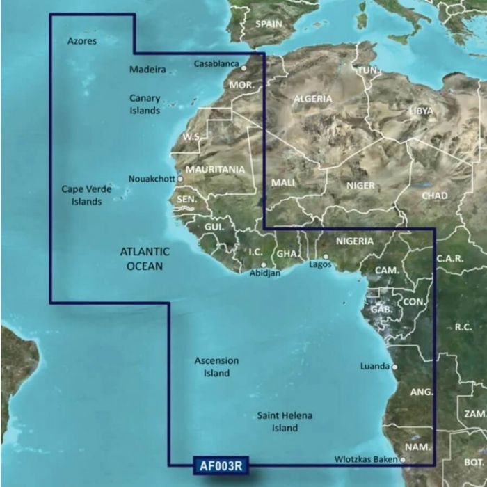
Garmin Africa, Western Coastal and Inland Chart - SD Card
R3,959.00
SKU
010-C0749-20
- Shallow Water Shading feature
- Derived from official charts and private sources
- Depth Range Shading


Description
The Garmin Africa, Western Coastal and Inland Chart - SD Card is a powerful navigation tool designed specifically for mariners exploring the coastal and inland regions of Africa. With its comprehensive features and reliable data, it provides an enhanced boating experience.
One of the standout features of this chart is the Shallow Water Shading, which helps mariners identify shallow areas and potential hazards with ease. This feature enhances safety by visually highlighting shallow waters, allowing boaters to navigate with confidence and avoid running aground. Derived from a combination of official charts and private sources, this chart ensures accuracy and reliability. It integrates data from various authoritative sources to provide the most up-to-date information available for the covered areas. This blend of official and private data allows for a comprehensive and detailed representation of the region's waterways.
Depth Range Shading is another noteworthy feature offered by this chart. It visually displays varying depth ranges, enabling mariners to quickly identify depth contours and plan their routes accordingly. This feature assists boaters in navigating through areas with specific depth requirements, optimizing their journey and avoiding potential risks. The chart provides worldwide coverage, ensuring that mariners can rely on its detailed and accurate information wherever their adventures take them. Whether exploring the Western Coastal or Inland regions of Africa or venturing beyond, this chart provides a comprehensive solution for navigation and exploration.
Detailed Contours are a key component of this chart, offering a precise depiction of the underwater terrain. By illustrating depth variations and underwater structures, mariners can make informed decisions about their route, fishing spots, and anchorages. The detailed contours allow for a deeper understanding of the water environment, enhancing navigation and exploration capabilities.
Features
- Advanced Chart Detail
- Shallow Water Shading feature
- Derived from official charts and private sources
- Depth Range Shading
- Worldwide coverage available
- Detailed Contours
Specifications
| Type | Chart |
| Place | Africa, Western Coastal |
| Brand | Garmin |
| Free Shipping | No |
|---|
Write Your Own Review
Customer Questions